IRIS
IRIS
  • People
  • Research Themes
  • Publications
  • Research Projects
  • Shared Resources
  • Lab News
  • Join Us
  • English
    中文 (简体)

Projects

Project ListFeatured Projects
2019-11 - 2024-10
Remote-sensing Retrieval of Ecosystem Parameters

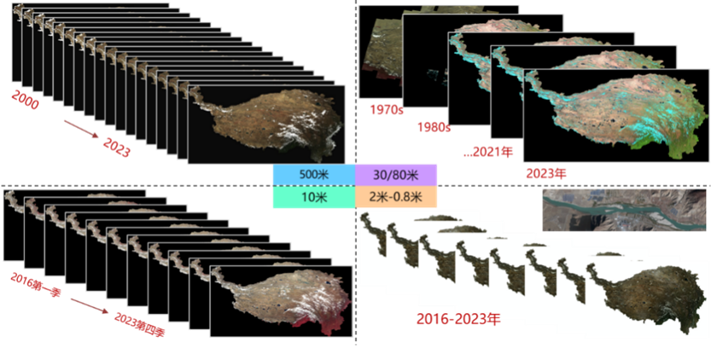
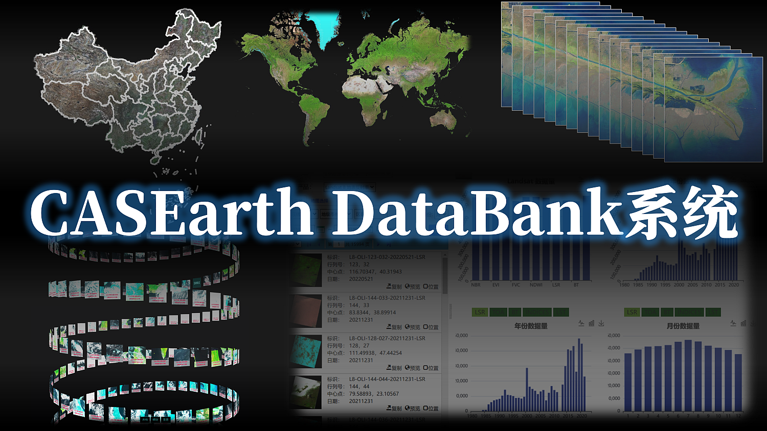
The CASEarth DataBank service system integrates data, computing, and visualization engines for efficient management, access, analysis, and application of long-term satellite observations. It provides long-term, multi-source RTU products, including 500,000–600,000 standardized Landsat scenes for China and surrounding areas, 13 editions of a global 30 m map, and six editions of a nationwide 2 m map.
Remote-sensing Retrieval of Ecosystem Parameters
2018-01 - 2022-12
CASEarth DataBank System Development

The CASEarth DataBank service system integrates data, computing, and visualization engines for efficient management, access, analysis, and application of long-term satellite observations. It provides long-term, multi-source RTU products, including 500,000–600,000 standardized Landsat scenes for China and surrounding areas, 13 editions of a global 30 m map, and six editions of a nationwide 2 m map.

CASEarth DataBank System Development
Jan 15, 2026
IRIS Benchmark (Example)

A benchmark and toolchain for multi-source remote sensing change detection (example).

Cite
Copy Download