Remote-sensing Retrieval of Ecosystem Parameters
Overall achievements
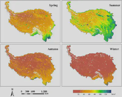
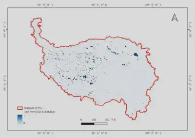
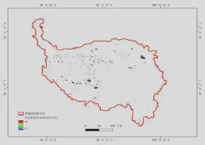
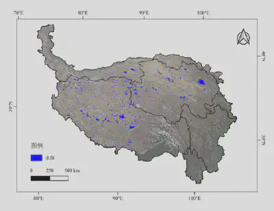
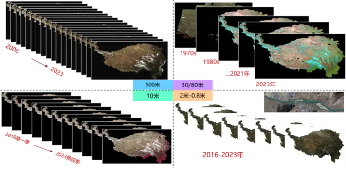
Using satellite observations from multiple sources, UAV remote-sensing data, and field expedition measurements, we developed geometric standardization and radiometric normalization techniques for long-term, multi-scale, multi-source satellite data, together with coordinated space–air–ground methods for retrieving key ecosystem parameters. We produced long-term satellite ready-to-use (RTU) datasets for the Qinghai–Tibet Plateau at multiple resolutions and with high accuracy, as well as 24 remote-sensing products across five categories of key ecosystem parameters. These cover vegetation structure and growth, the carbon cycle, land-surface energy, water properties and distribution, and human activities. The products span spatial resolutions of 500 m to 0.8 m and the period from the 1970s to 2023, providing reliable data for assessing ecosystem services and their changing trends on the plateau.
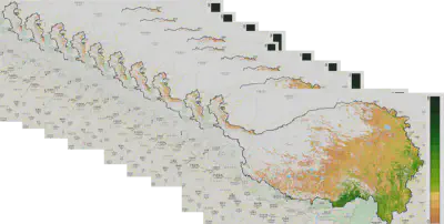
Long-term multi-source satellite RTU products for the Qinghai–Tibet Plateau (integrated expedition map)
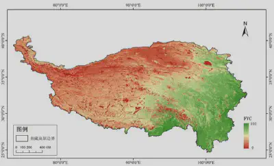
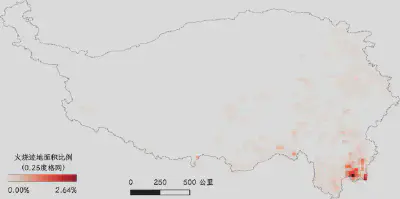
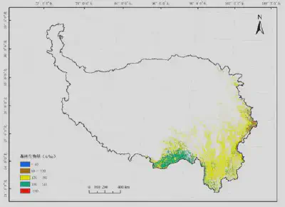
Long-term remote-sensing products for key ecosystem parameters