Intelligent Remote-sensing Data Processing and Information Mining
Research
Computer VisionCross-disciplinary (From Earth to Eye)Remote SensingRemote-sensing RTU Products and ServicesIntelligent Remote-sensing Data Processing and Information MiningRemote-sensing Big Data Engineering and ApplicationsRemote Sensing for Human Well-beingGeoscientific knowledge and remote-sensing data are connected. Intelligent remote-sensing analysis should use relationships among datasets to provide richer information and perspectives. Combining the mechanisms of geoscientific processes with collaborative cognitive models for objects in high-resolution imagery, constrained by geoscientific knowledge, can improve the accuracy and efficiency of object recognition in large remote-sensing datasets.
1. Collaborative object recognition in high-resolution imagery constrained by geoscientific knowledge
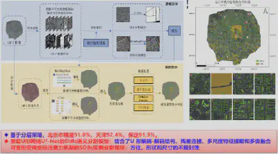
(1) Hierarchical deep learning for urban buildings, enabling building extraction across large areas
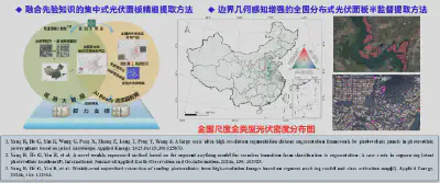
(2) A deep-learning framework for all types of photovoltaic installations in large-scale, ultra-high-resolution imagery, enabling the first detailed nationwide mapping of centralized and distributed photovoltaics in China at 0.3 m resolution
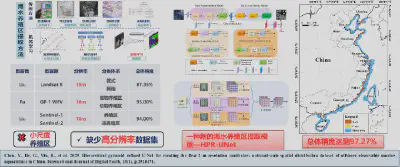
(3) The Hierarchical Pyramid Refined U-Net (HPR-UNet) semantic segmentation model, producing the first nationwide 2 m multi-type marine aquaculture product covering raft aquaculture, cages, and deep-water circular cages
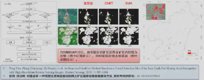
(4) Object recognition in high-resolution imagery of rare-earth mining areas constrained by vegetation indices, enabling fast and accurate extraction of mining-area information
2. Long-term, large-scale remote-sensing change information mining and anomaly detection
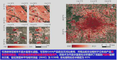
Automatic extraction of long-term impervious-surface changes using temporal deep-learning models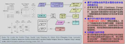
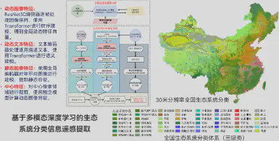
3. Ecosystem classification and updating using remote-sensing big data and AI