Remote-sensing RTU Products and Services
Research
Computer VisionCross-disciplinary (From Earth to Eye)Remote SensingRemote-sensing RTU Products and ServicesIntelligent Remote-sensing Data Processing and Information MiningRemote-sensing Big Data Engineering and ApplicationsRemote Sensing for Human Well-being1. RTU products
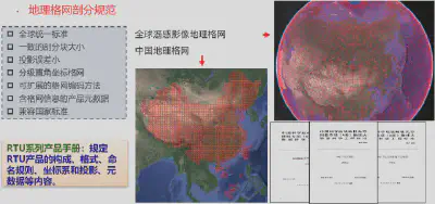
Guojin He pioneered the concept of a ready-to-use (RTU) satellite remote-sensing product archive and led the development of a rapid processing system for multi-source satellite RTU products. RTU products feature radiometric normalization, geometric standardization, and a tiled grid structure, allowing direct use in subsequent analysis and applications.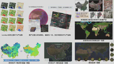

2. Fast, high-accuracy geometric positioning of satellite imagery
(1) On-orbit geometric recalibration of wide-field imagery without a rigorous imaging geometry model
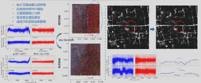
(2) Reconstruction of orbit parameters based on the RPC model
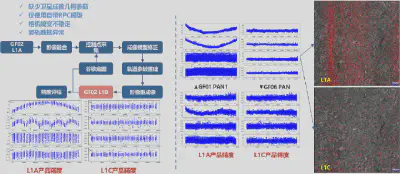
3. Relative and absolute radiometric processing of satellite imagery
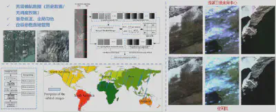
(1) Relative radiometric correction without yaw data
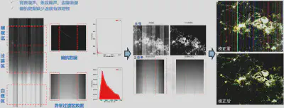
(2) Relative radiometric correction of nighttime-light imagery using anomalous observations
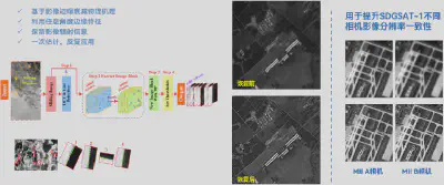
(3) Image restoration using ground landmarks at arbitrary angles
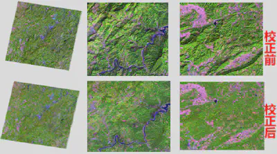
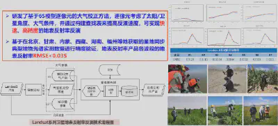
(4) Integrated surface reflectance retrieval
We developed an integrated surface reflectance retrieval method using coupled atmospheric, terrain, and BRDF correction to address joint processing of large-scale, long-term, multi-source satellite imagery across spatial, temporal, and spectral dimensions.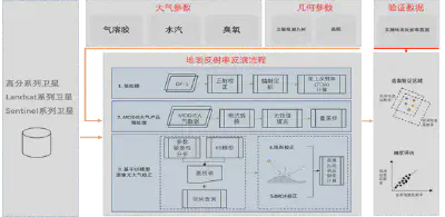
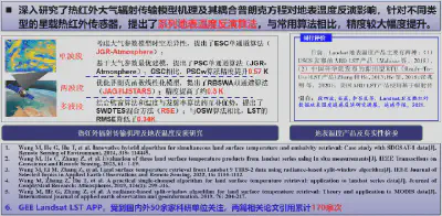
4. Land-surface temperature retrieval over large areas at medium resolution
5. Geographic grid subdivision standards